The Promesa property comprises of three concessions covering 3,000 kms located at an elevation between 3,800 m to 4,400 m asl. It is approximately 360 kms by road from Cusco on paved highway along the Lima-Nazca highway where it turns off to the property for a further 7.2 km of rugged road. The topography in the area is generally gentle with deep valleys.
The work in the property consists of geological mapping, 908 grid soil samples and 706 of rock samples. Ground geophysical surveys consists of 95.3 line-km of magnetometer and 8.2 line-km of Induced polarization surveys that were compleated in May 2003. In 2004, four drill holes totaling 1,540 m were drilled in the property.
A summary of the geology taken from the SRK 2007 report describes it as follows:
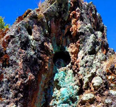
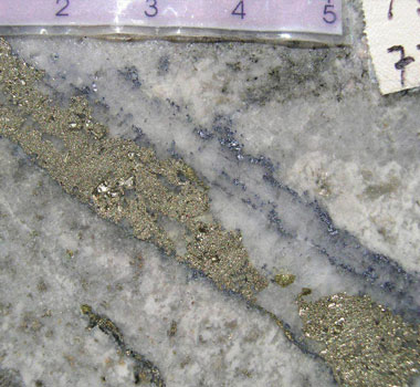
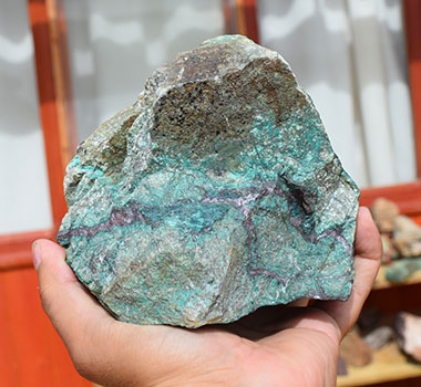
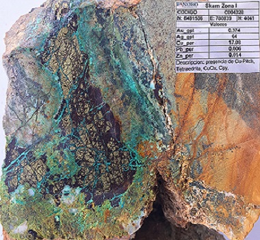
"At Promesa, a composite, north-oriented, hornblende and quartz-eye bearing porphyry stock of granodiorite composition intrudes a dominantly clastic sequence of quartz-arenite and pelite of the Early Cretaceous Soraya Formation. (Figure 29). Hydrothermal alteration is dominated by biotite and K-feldspar bearing potassic assemblages that affect the intrusive units and certain pelitic horizons of the country rock, whereas quartz-sericitic alteration is locally present in transgressive veins of D-type and more commonly occupies a peripheral position in quartz-arenite country rock. Copper mineralization accompanies moderate to weak quatz-stockworks with chalcopyrite primarily hosted by the composite porphyry stock near its contact with the host sedimentary sequence. Minor supergene chalcocite is present at the redox front in quartz-sericite altered country rock."
While the magnetometer survey covered a large portion of the area of interest only a small area of more intensive magnetic response was covered by the Induced polarization Survey, whereas the magnetic response in the southwestern part of the magnetometer survey remained without IP coverage which should be part of any succeeding exploration program. The resulting magnetic and IP contour maps are shown on the Maps webpage and drillhole intercepts are shown below. The geophysical surveys and drilling were concentrated on one relatively small part of the property.
| Drillhole No. | From (m) | To (m) | Intercept (m) | %Cu | g/t Au |
|---|---|---|---|---|---|
| PRO-01 | 242 | 250 | 8 | 0.39 | 0.09 |
| 368 | 384 | 16 | 0.49 | 0.14 | |
| PRO-02 | 12 | 28 | 16 | 0.54 | 0.03 |
| 314 | 376 | 62 | 0.43 | 0.09 | |
| PRO-03 | 236 | 244 | 8 | 0.40 | 0.07 |
| 250 | 252 | 2 | 2.15 | 0.42 | |
| PRO-04 | 164 | 188 | 24 | 0.52 | 0.12 |
| 234 | 238 | 4 | 0.50 | 0.22 |
The presence of mineralized intervals grading above 0.4% Cu and up to 0.42 g/t Au indicates that the property has the potential to host porphyry copper-gold deposit in addition to possibly hosting supergene copper mineralization as shown by the presence of incipient chalcocite enrichment in PRO-02.
Luis Vela, P. Geo., Vice President of Exploration for Panoro and a "qualified person" under National Instrument 43-101, has reviewed and approved the scientific and technical information.